
Record on iPhone
Start Shutter Trail before the shoot. It keeps a private location history on your device and works without internet.
 Shutter
Trail
Shutter
Trail
GPS geotagging for photographers
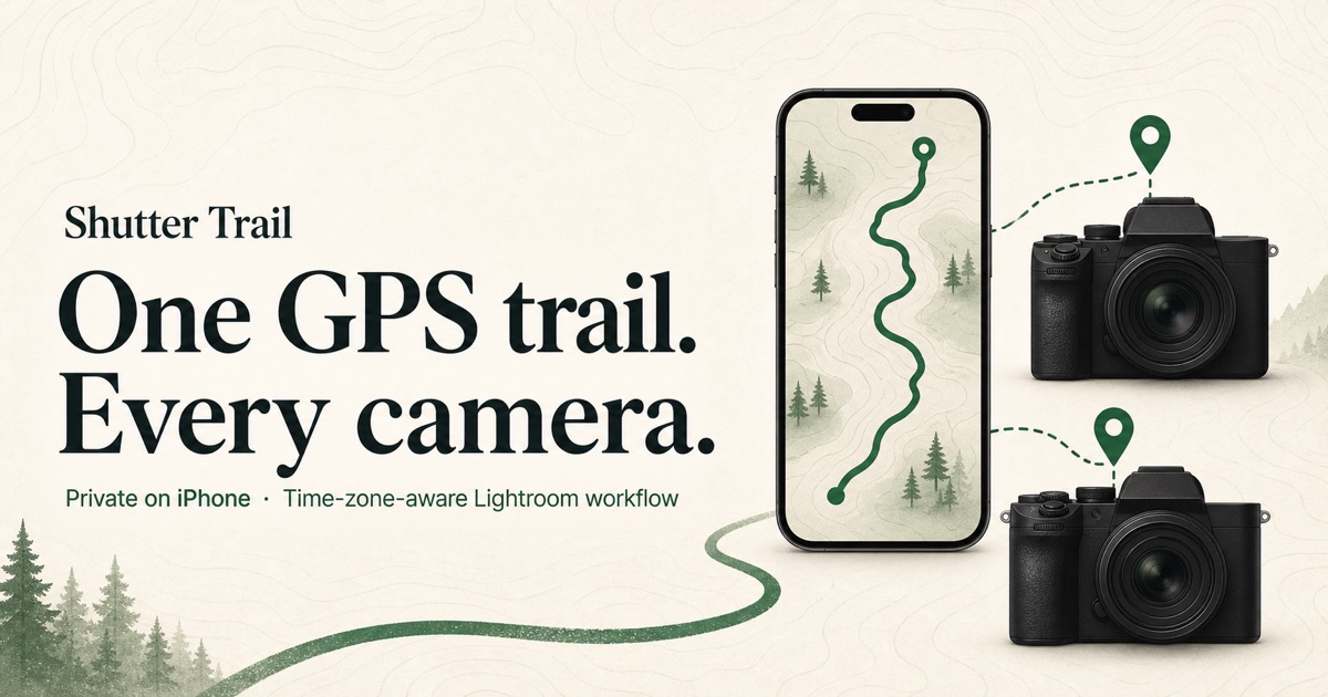
Record your route on iPhone while you shoot with one or more cameras. Export a standard GPX file, then use the free Shutter Trail Lightroom Classic plug-in to match photos by capture time—even across cameras and time zones. No camera pairing required.
One trail, three steps
Start Shutter Trail before the shoot. It keeps a private location history on your device and works without internet.
Use one body or several. There is no Bluetooth connection, manufacturer app, or camera-specific pairing to maintain.
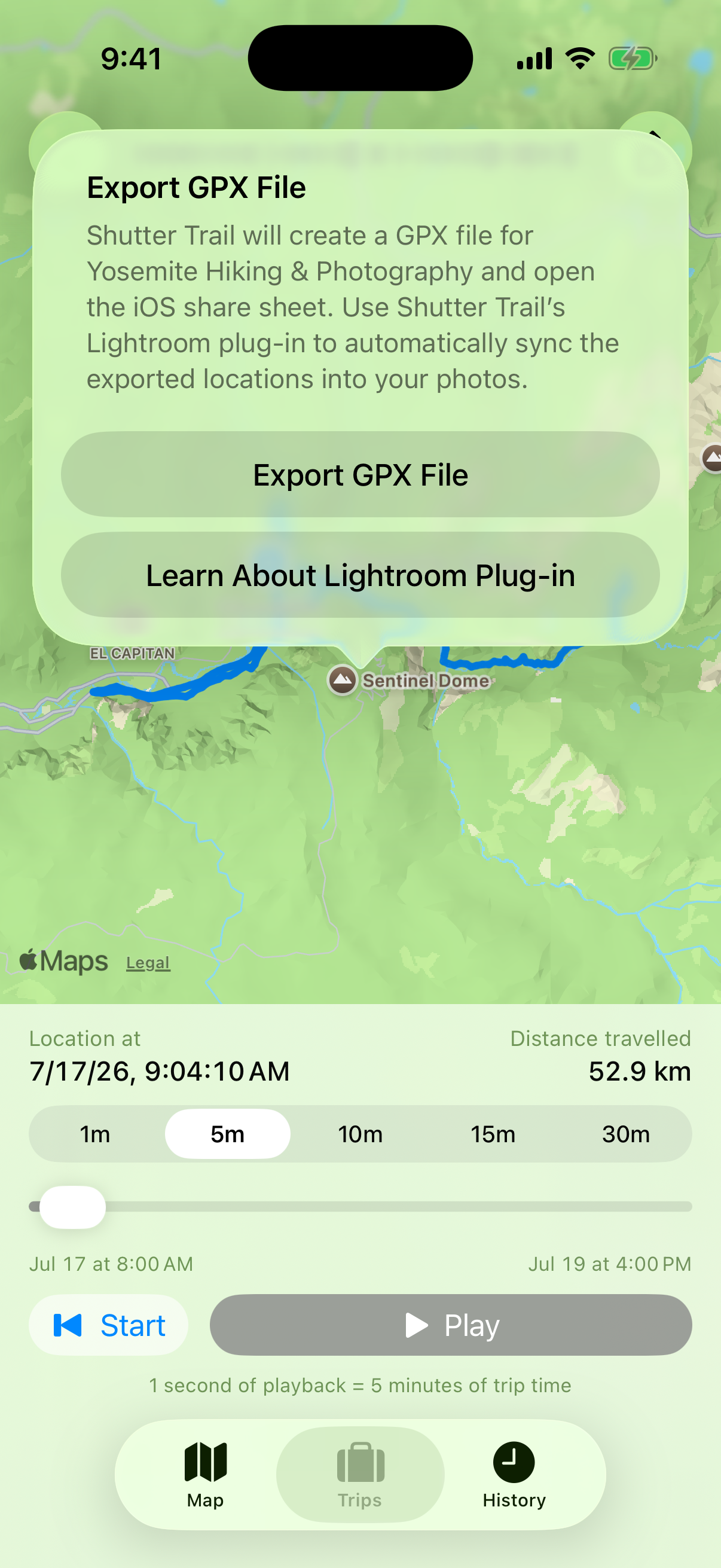
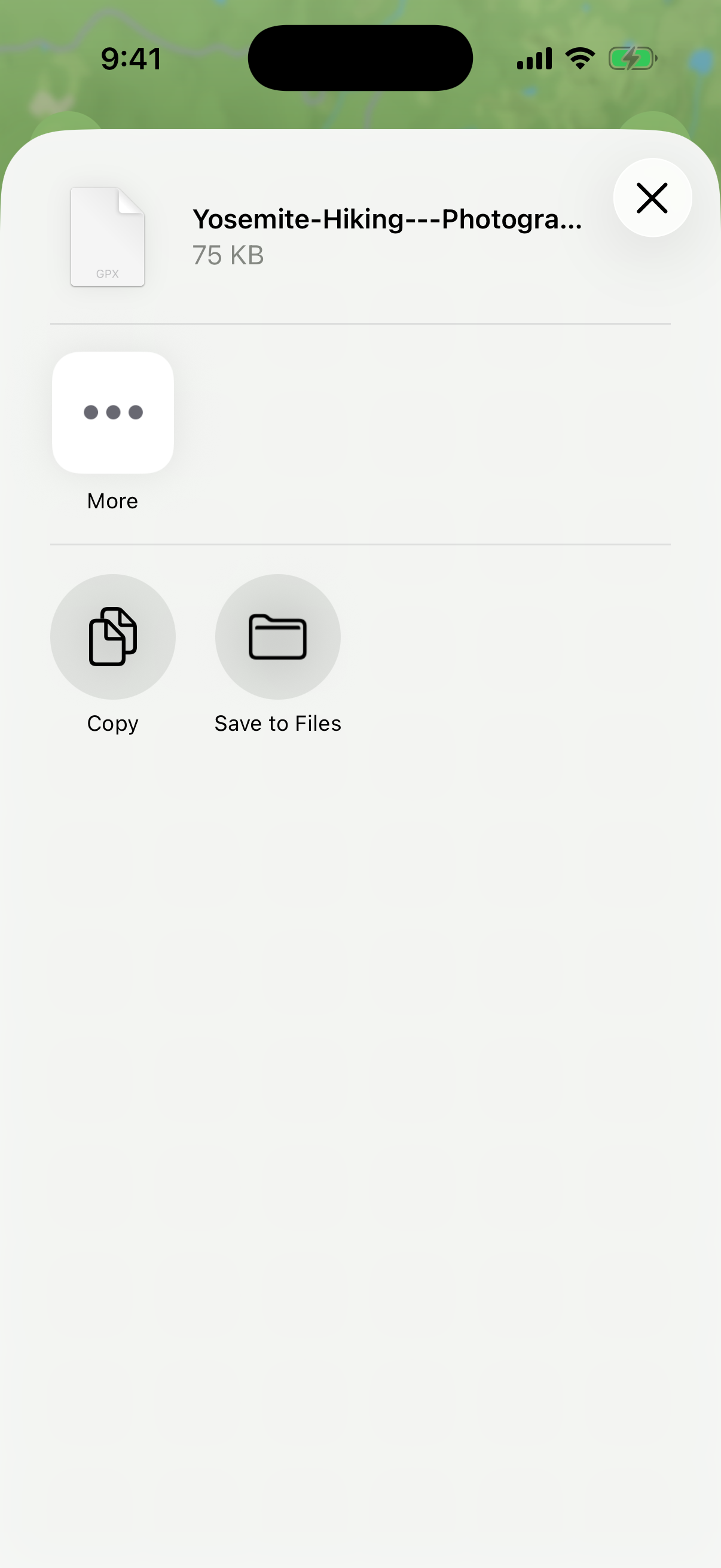
Export GPX, select your photos, and review the free plug-in’s proposed matches before locations are added.
The plug-in accounts for each photo’s time context—even when a camera remains on its previous local time—and preserves existing GPS coordinates by default.
See how the free plug-in worksBuilt for real shoots
Use the same GPX track for photos from Sony, Canon, Nikon, Fujifilm, Leica, or any camera with reliable capture times.
Your camera does not need to stay connected to your phone or rely on a manufacturer companion app while you shoot.
See the matching summary first. Existing photo locations remain untouched unless you explicitly choose to replace them.
Lightroom Classic plug-in
Lightroom’s built-in GPX workflow uses one manual tracklog offset. The free, open-source Shutter Trail plug-in accounts for each photo’s time context and shows proposed matches before applying them—even when a camera remains on its previous local time.
Practical guides
Step-by-step help for recording GPS trails, matching GPX timestamps, and keeping photo locations accurate during international travel.
Yosemite workflow
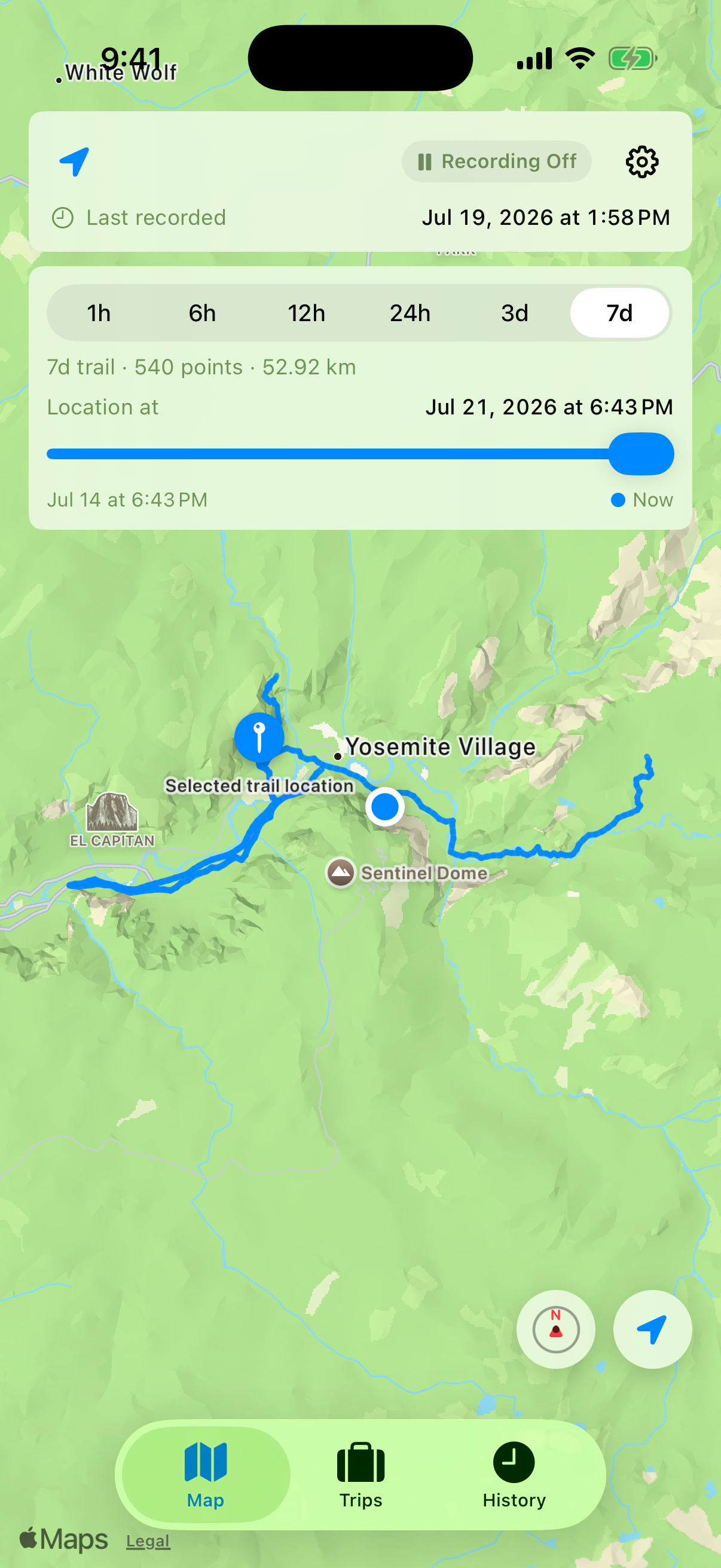
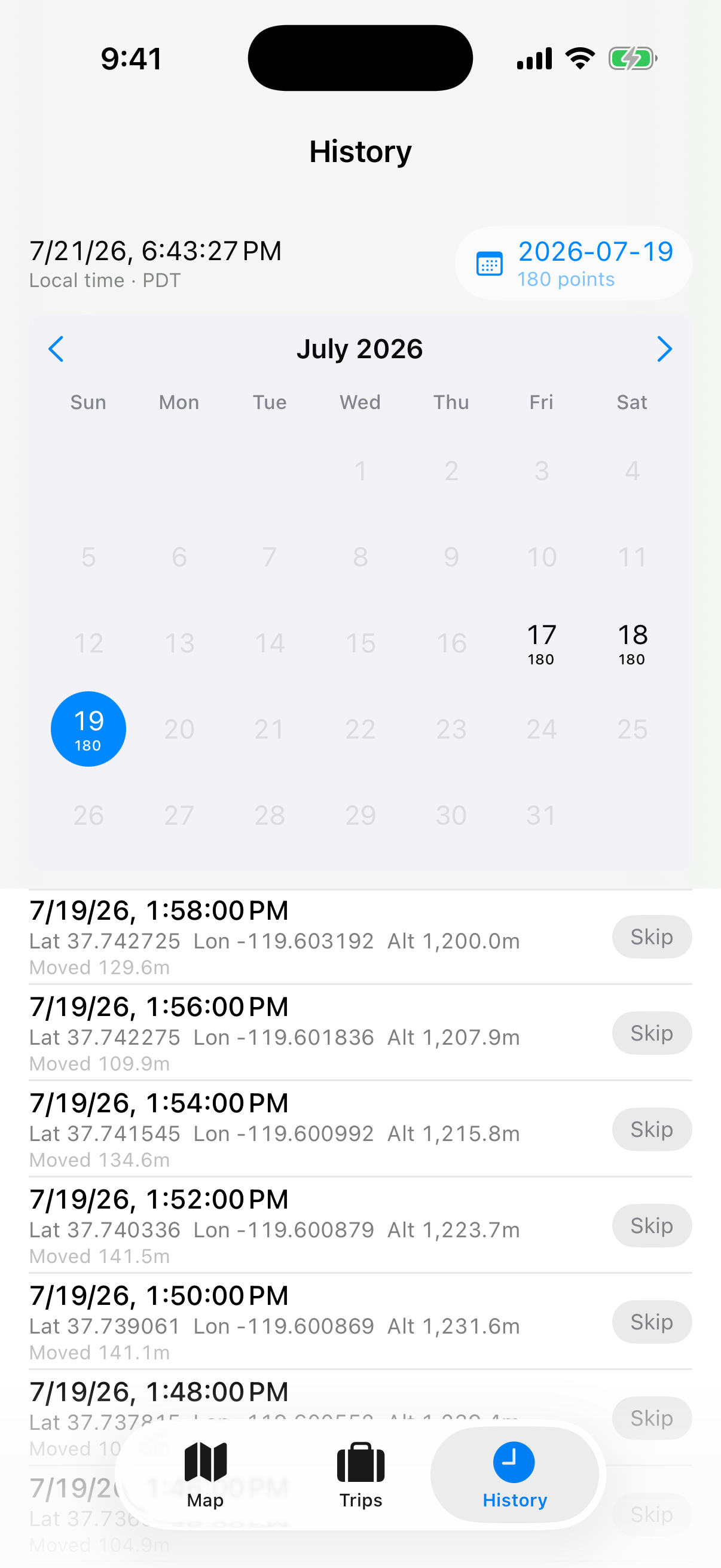
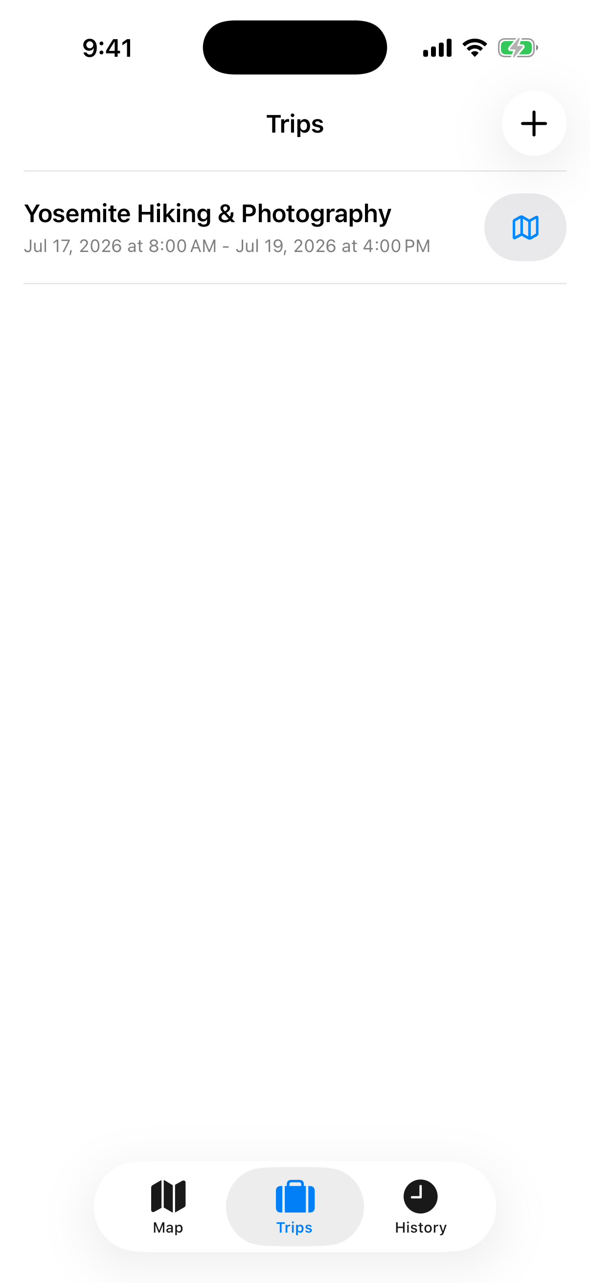
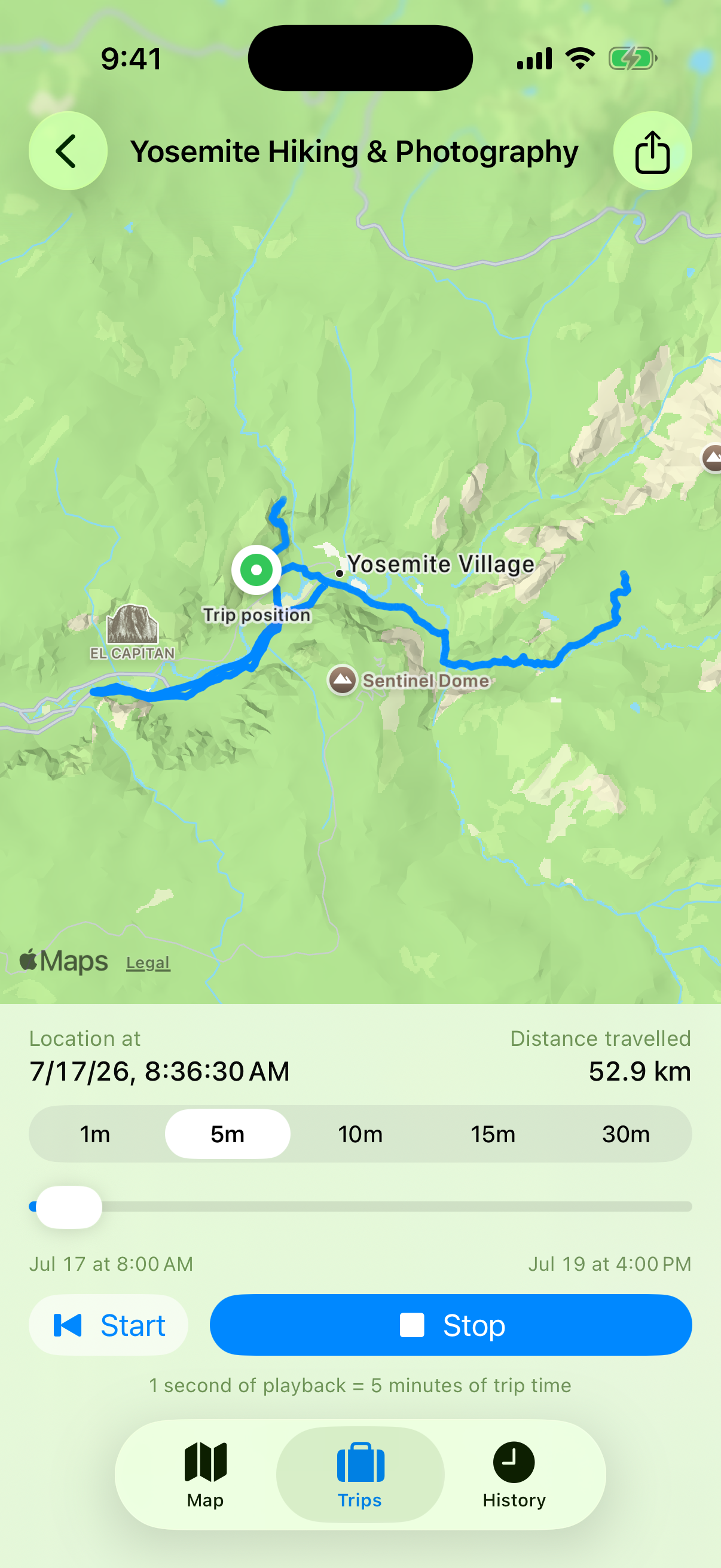
Review recorded days, define the exact time range of a photography trip, play the trail back, and export a Lightroom-ready GPX file.
Ready for your next shoot?
Download free on iPhone and record one private GPS trail for every camera you carry.